I was reading somewhere recently (online) a caption for a photograph that said “crossing Kurupukari” and it occurred to me that some people probably genuinely think that the river that they are crossing with the pontoon/ferry is actually called Kurupukari – the river is none other than the mighty Essequibo.
Kurupukari is apparently the historic name of the Amerindian village now known as Fairview, which happens to be the only Amerindian village located within the Iwokrama Rainforest Programme Site. The rapids or waterfalls seen near the “crossing” is referred to as the Kurupukari Rapids or Kurupukari Falls, the area on either side of the river where the pontoon/ferry and boats come ashore is/are referred to as the Kurupukari Landing; this landing allows for the transport of vehicles across the Essequibo River along the Linden-Lethem Trail / Road.
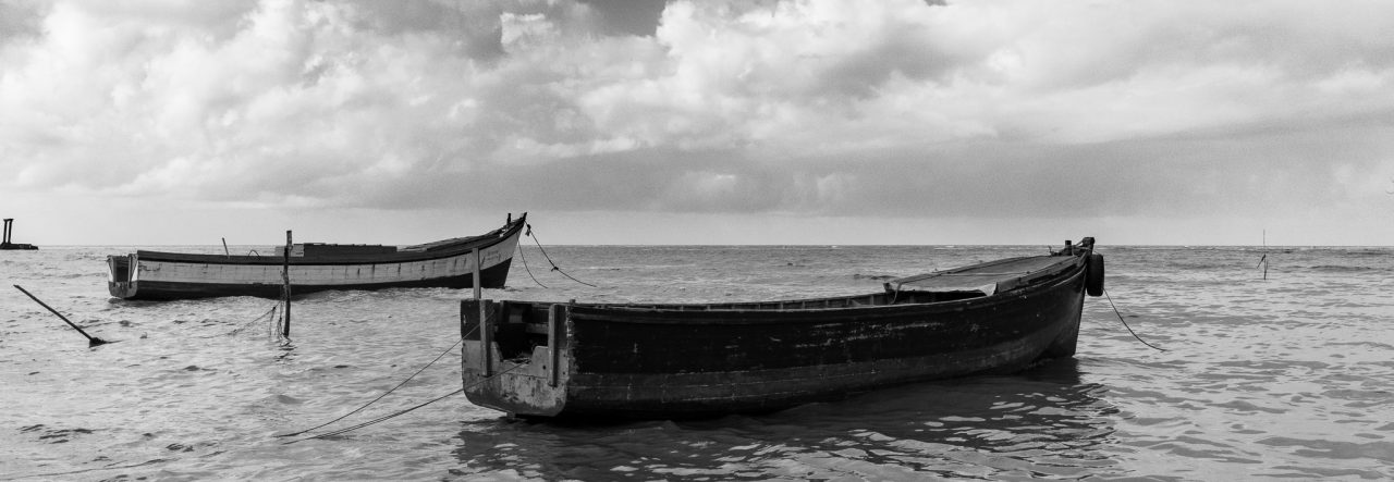
I’ve taken many photos at the crossing, as have many other people, it has a scenic quality that is endearing but not necessarily easy to capture on camera. While photographing it this last March I realized what was one of the things that I loved about it, it was the openness, the width of the river, the wide expanse of sky above. In this photo I try to convey that sense of openness and also the scale (there’s a boat/canoe crossing the river).

Canon EOS 60D, Sigma 10-20mm | Essequibo River, Kurupukari, Guyana, 2016
Click on the image to see it in the Gallery


